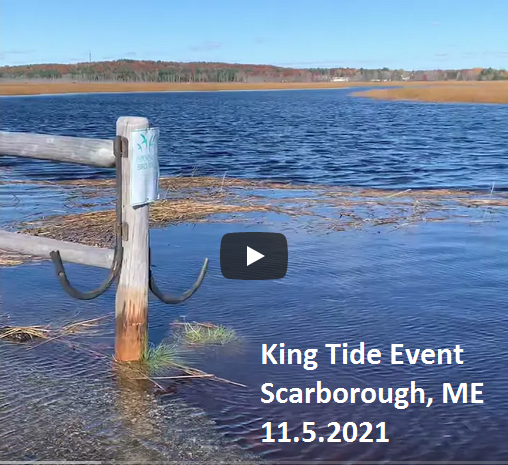
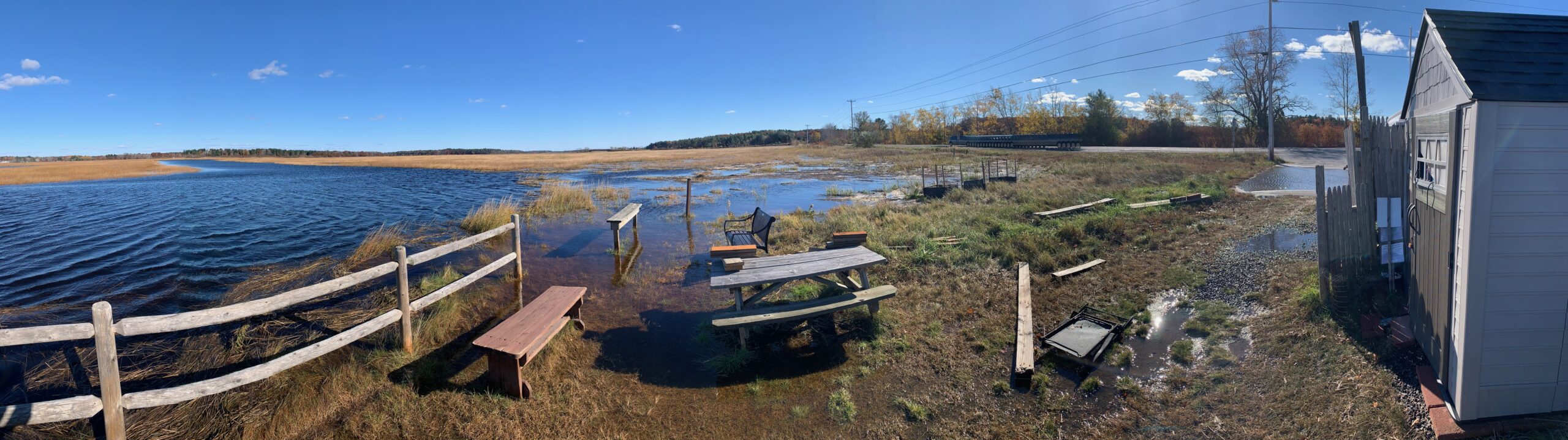
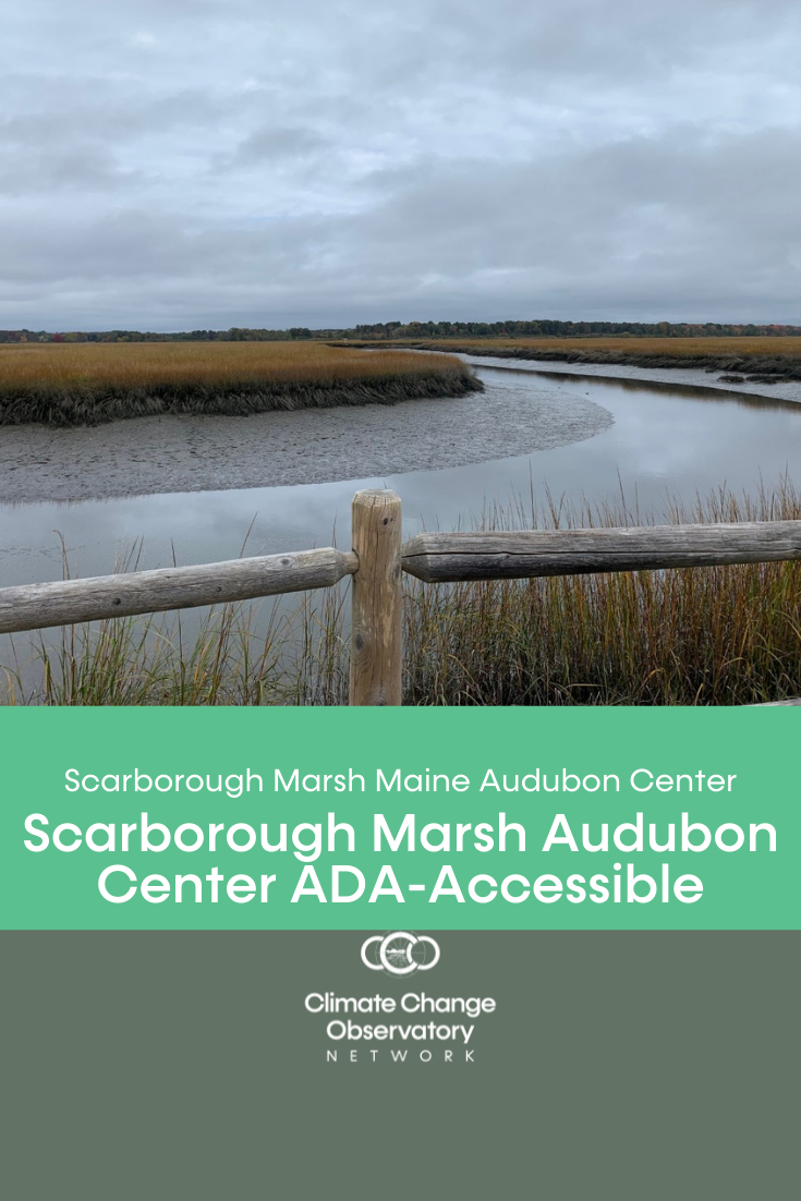
Community members help document the effect that extreme tide events have on beaches, coastal bays and estuaries by submitting photos at Climate Change Observatory Sites in Southern Maine. Watch the video to see footage of a King Tide event occurring November 5th, 2021 at Scarborough Marsh Audubon Center.
King tides refer to the highest tides that occur over the course of a year when the gravitational pull of the sun and moon reinforce each other. These tides, occur when the moon is closest to the Earth. Learn more about tides and tide cycles.
We can get a sense for the impact of future sea level rise by observing the King Tide event. The Maine Geological Survey recommended in The Maine Climate Council assessment of climate change report that the state “commit” to manage for 1.5 feet of relative sea level rise by 2050 and 3.9 feet of sea level rise by the year 2100, and “prepare” to manage for 3 feet of relative sea level rise by 2050 and 8.8 feet of sea level rise by the year 2100.
The King Tide water levels are 4+ feet higher than the lowest high tide of the month. Watch the video to get a glimpse of what may represent the future normal.
[Resource Info: NOAA] What is a King Tide (also known as a perigean spring tide)?
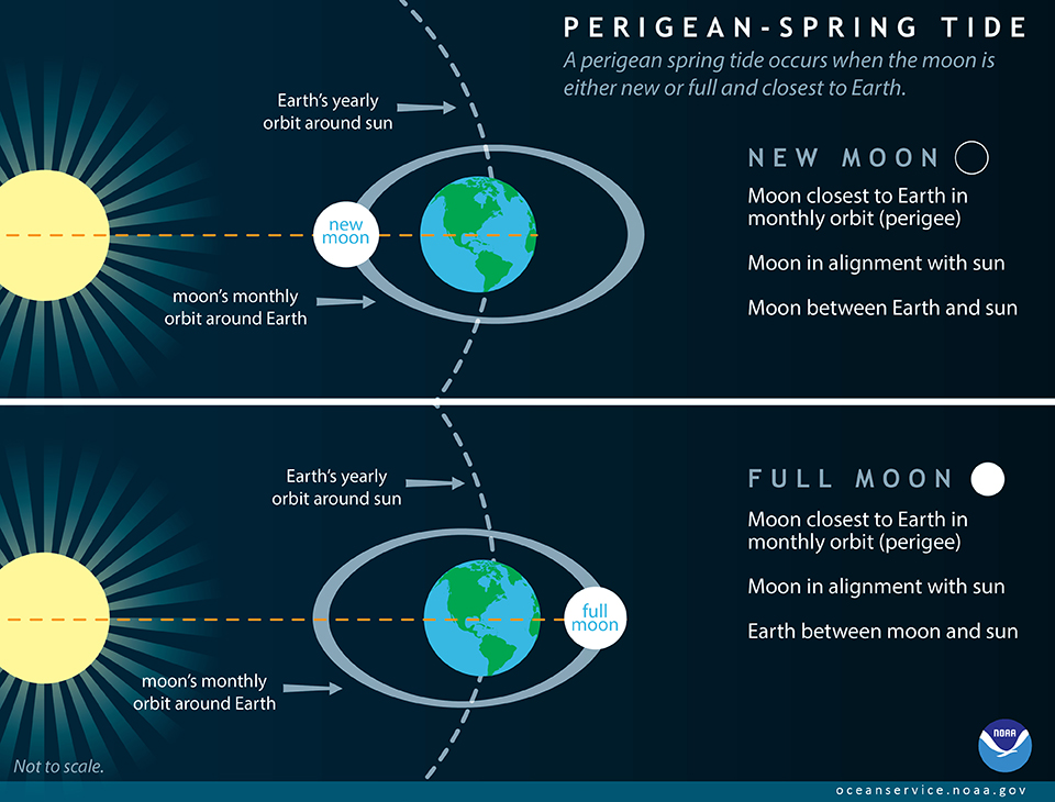 A perigean spring tide occurs when the moon is either new or full and closest to Earth.
Perigean Spring Tides and Coastal Flooding
Coastal flooding doesn’t always occur whenever there is a perigean spring tide. However, perigean spring tides combined with seasonal changes in the tide and mean sea level may cause minor coastal flooding in some low-lying areas, often referred to as “high tide flooding” or “nuisance flooding”. Major coastal flooding typically occurs in response to strong onshore winds and barometric pressure changes from a coastal storm. If a storm strikes during a perigean spring tide, flooding could be significantly worse than it otherwise would have been. In some instances, perigean spring tides have coincided with a shift in offshore ocean circulation patterns and large scale shifts in wind that have resulted in unexpected coastal flooding. It is expected that occurrences of minor high tide flooding at the times of perigean spring tides will increase even more as sea level rises relative to the land. NOAA’s tide and tidal current predictions take into account astronomical considerations due to the position of the moon and the sun. LEARN MORE – VISIT NOAA FACTS
Help monitor environmental changes occuring throughout the year by contributing photos at Climate Change Observatory Sites in Maine. The photos are stitched into a time lapse video and provide local data that helps scientists and community stakeholders make more informed decisions in order to build resiliency to address sea level rise in our communities.


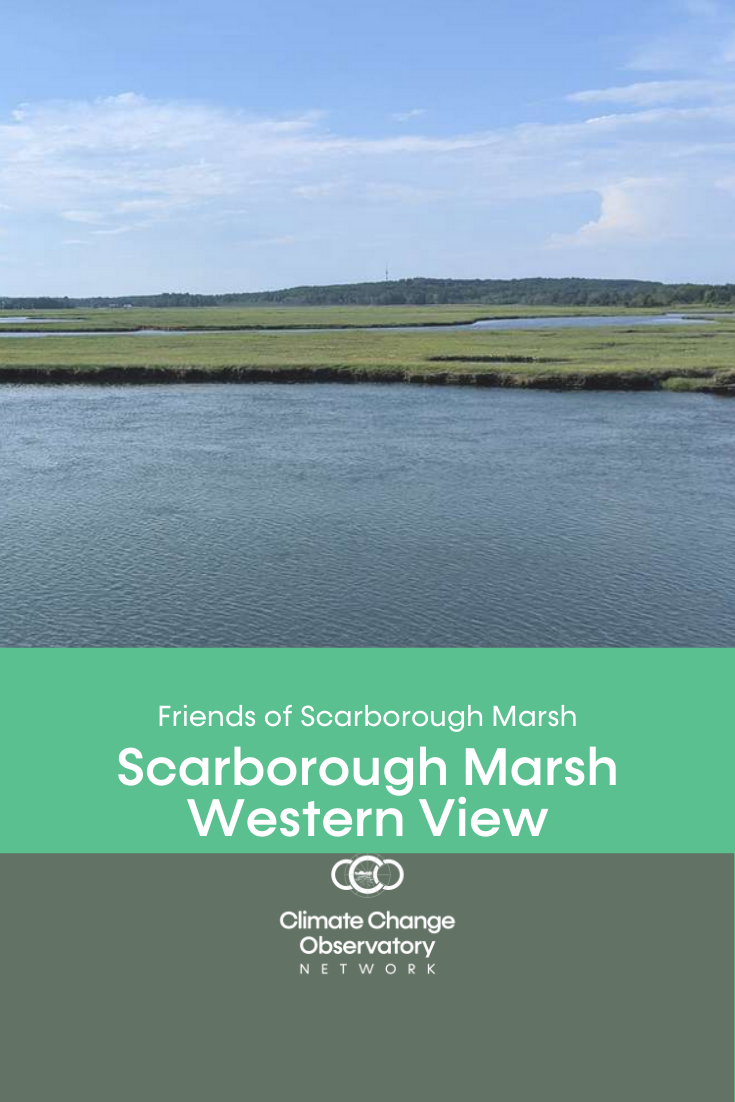
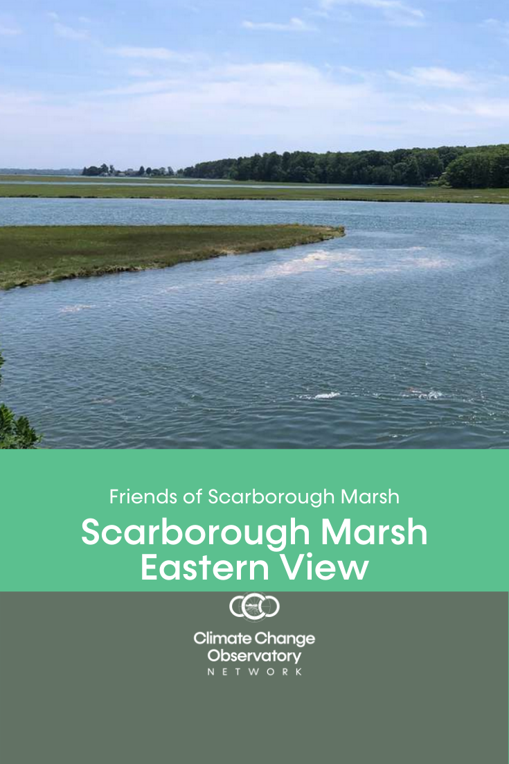
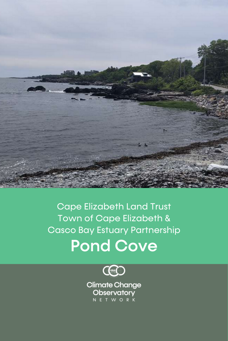
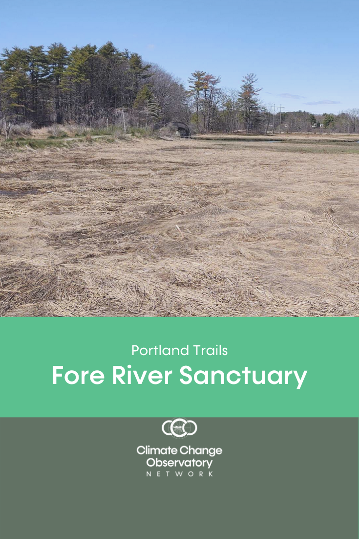
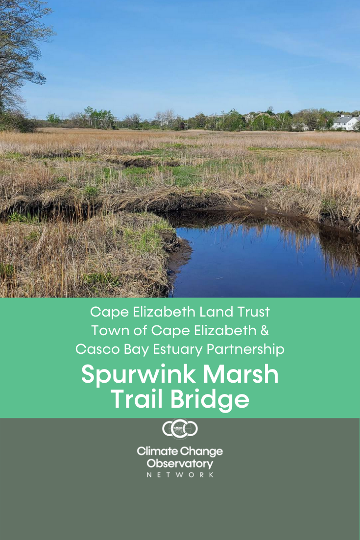
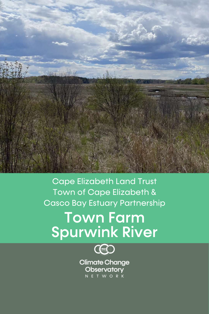
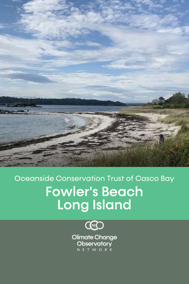
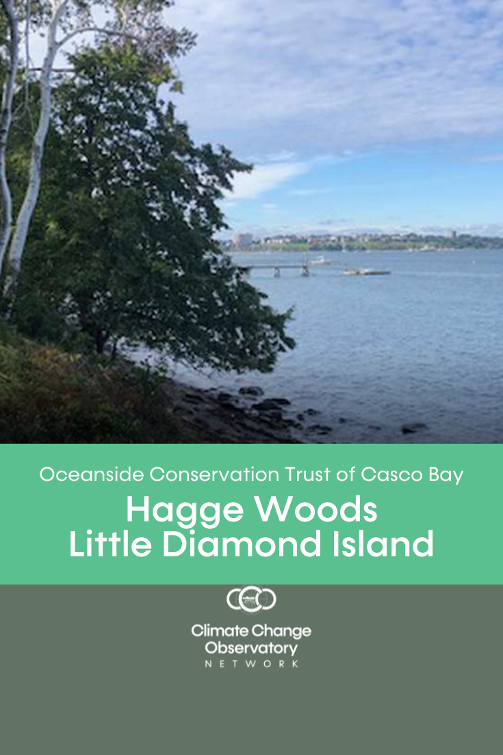
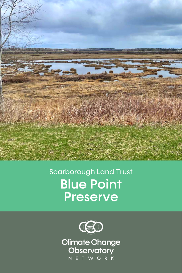
Click on a Climate Change Observatory (CCO) Site link below to find out where a coastal site is located at and to view the time lapse video created from the crowdsourced photos contributed at the CCO location.
Click here to learn more about the Climate Change Observatory Network